Thursday, August 31, 2006

Mount Robson, here we come

AUGUST 31, 2006 - Jasper

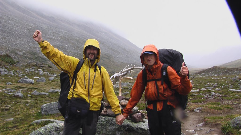
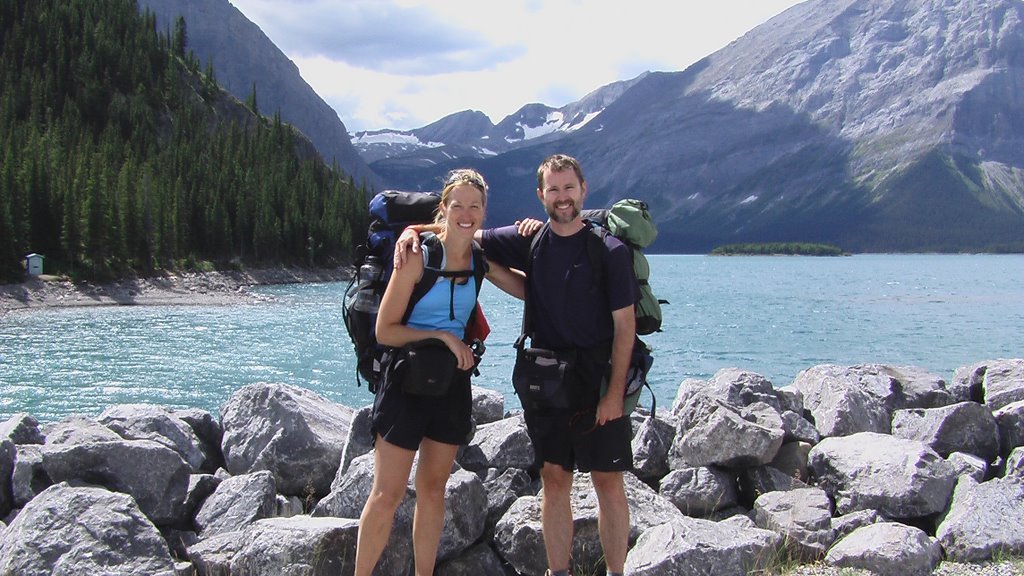
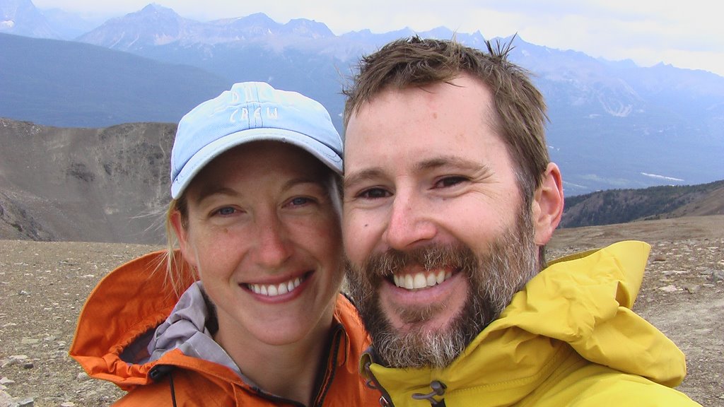
Today we resupplied our packs with food for one last time before we head out on our last week of hiking to the end of the Great Divide Trail at Mount Robson.

The past week of hiking towards Jasper had me feeling many mixed emotions... the below-treeline, valley walking south of Maligne Lake gave me the trail blues and I felt uninspired and listless as we walked for three days under beautiful blue-sky. While the ever-approaching end of our trip had me feeling excited to finally accomplish our goal, I was also saddened that I would be leaving the mountains soon and no longer be hiking in the Rocky Mountain wilderness everyday...

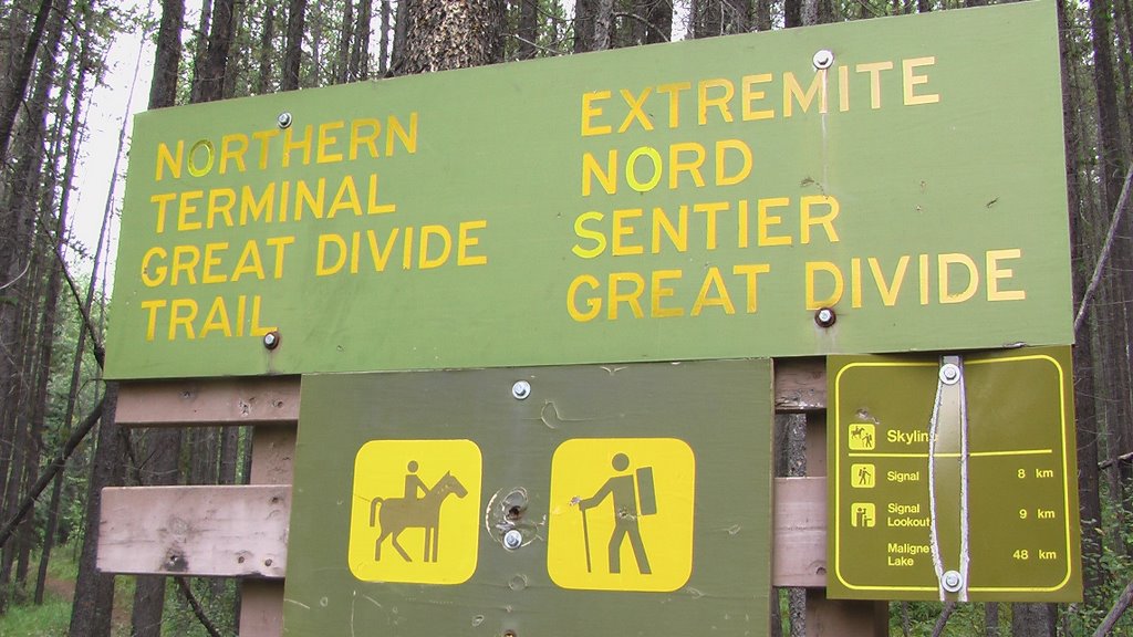
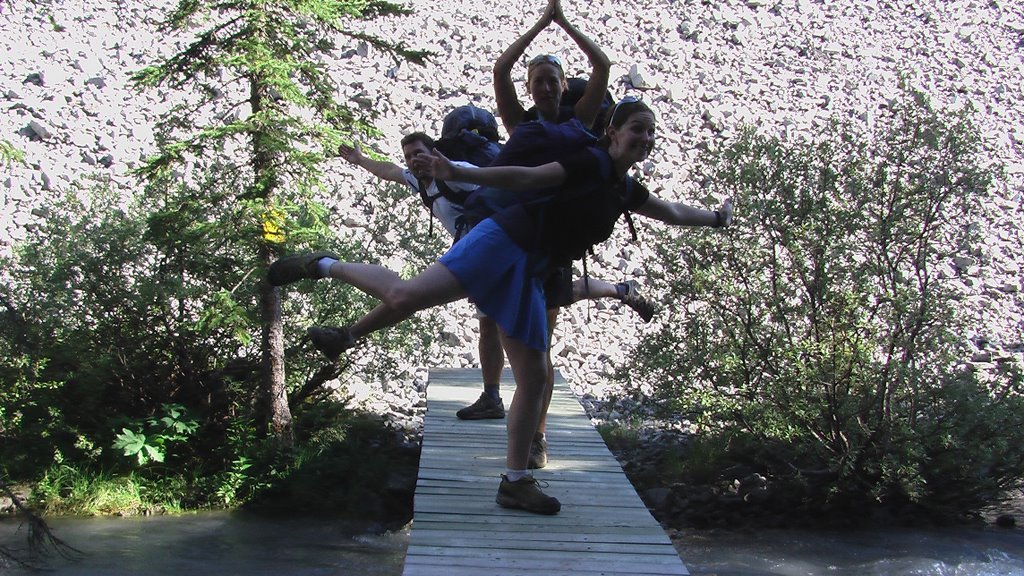
But my spirits were lifted by our last two days of hiking on the Skyline Trail, one of Jasper National Park's most spectacular and popular backcountry routes.

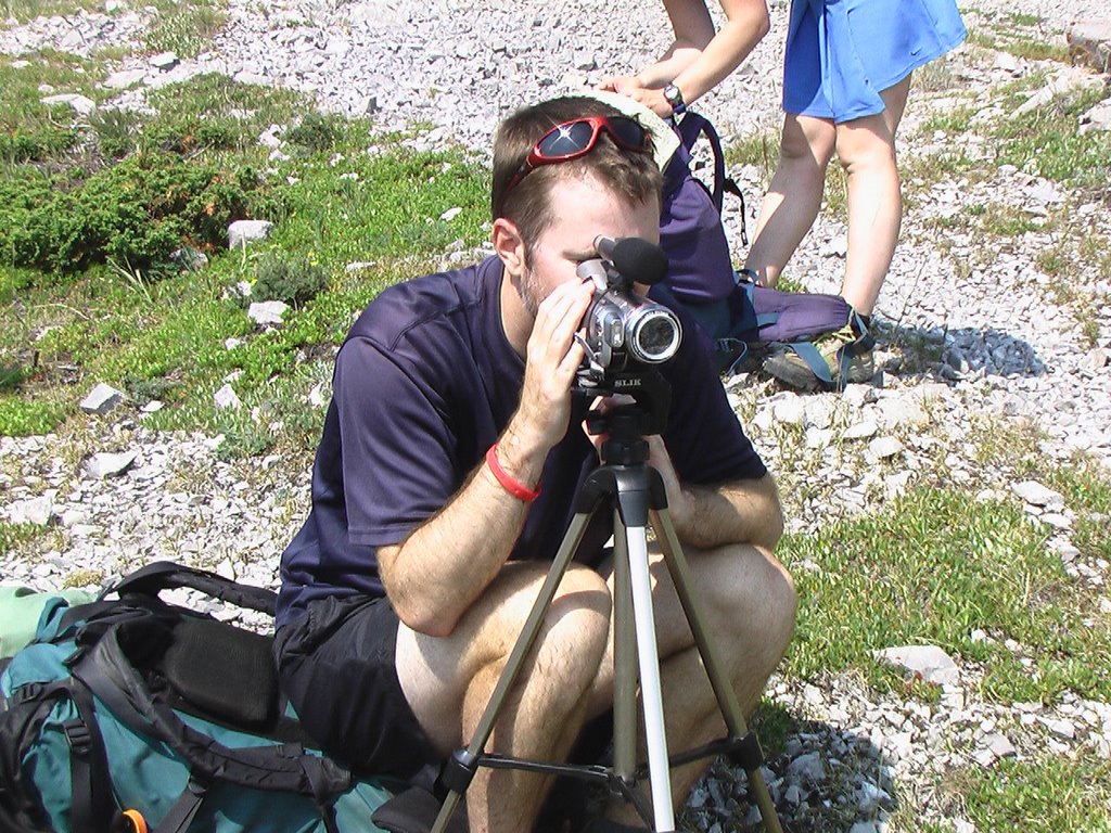
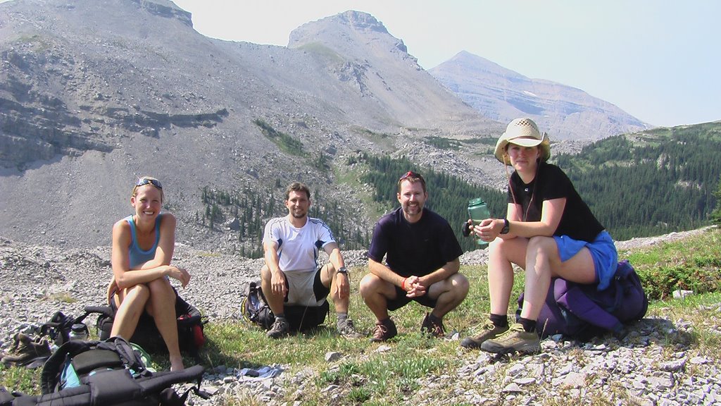
HELLO to our fellow campers at Tekarra campground on the Skyline: David & Laura from North Carolina; Tim & Larry from Alaska; and thanks to Rich from Seattle for a delicious lunch in Jasper! We wish you all many more blue-sky hiking adventures...

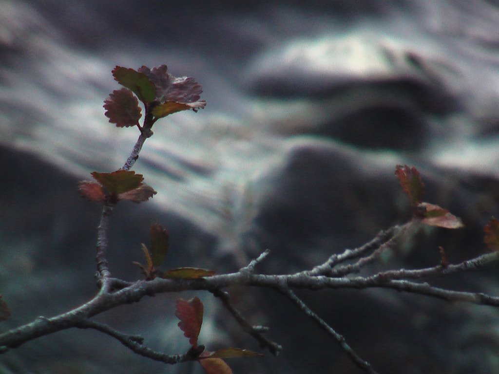
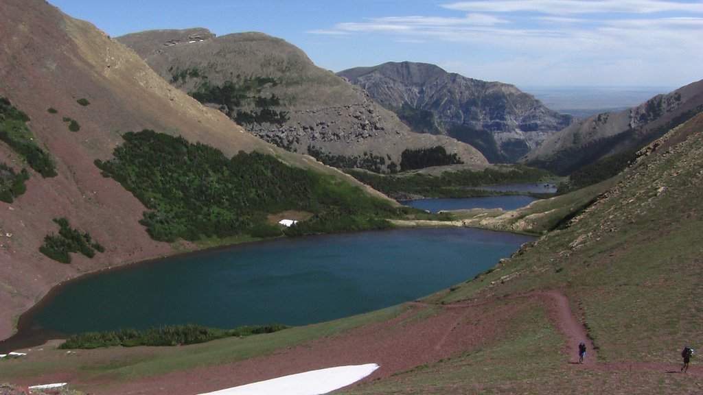
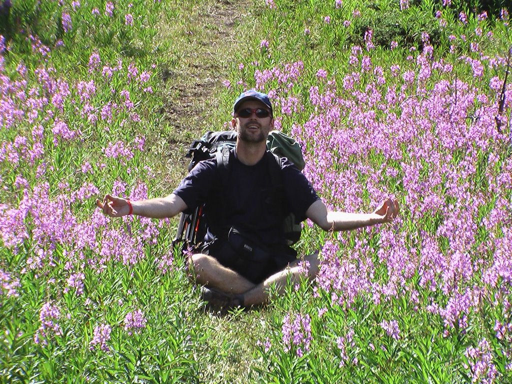
DAY 50: near Maligne Pass

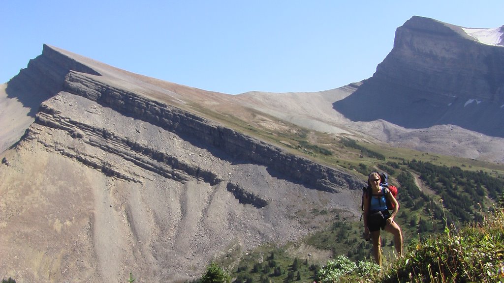
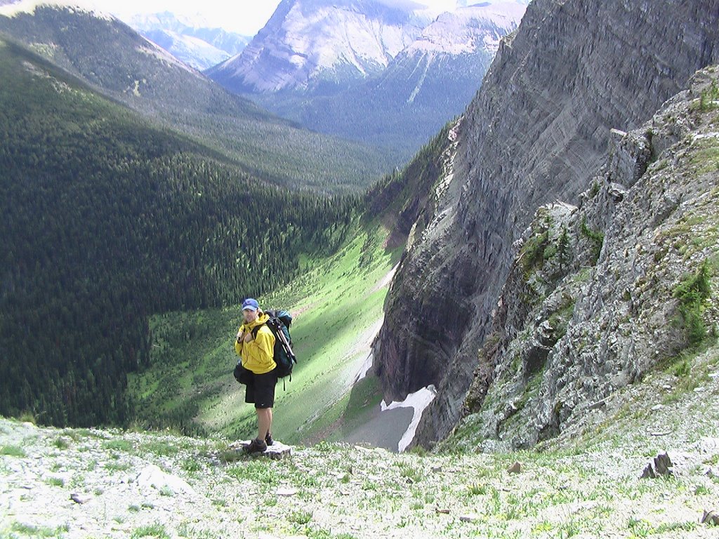
DAY 52: Trekking the Skyline

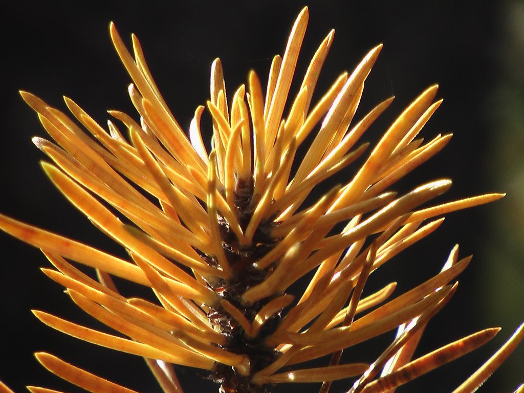
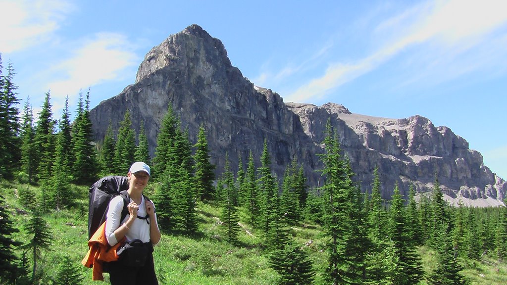
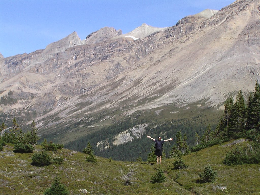
DAY 52: Mount Tekarra on the Skyline

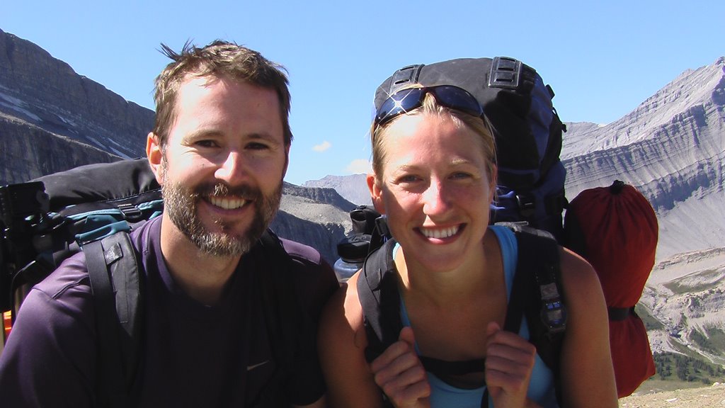
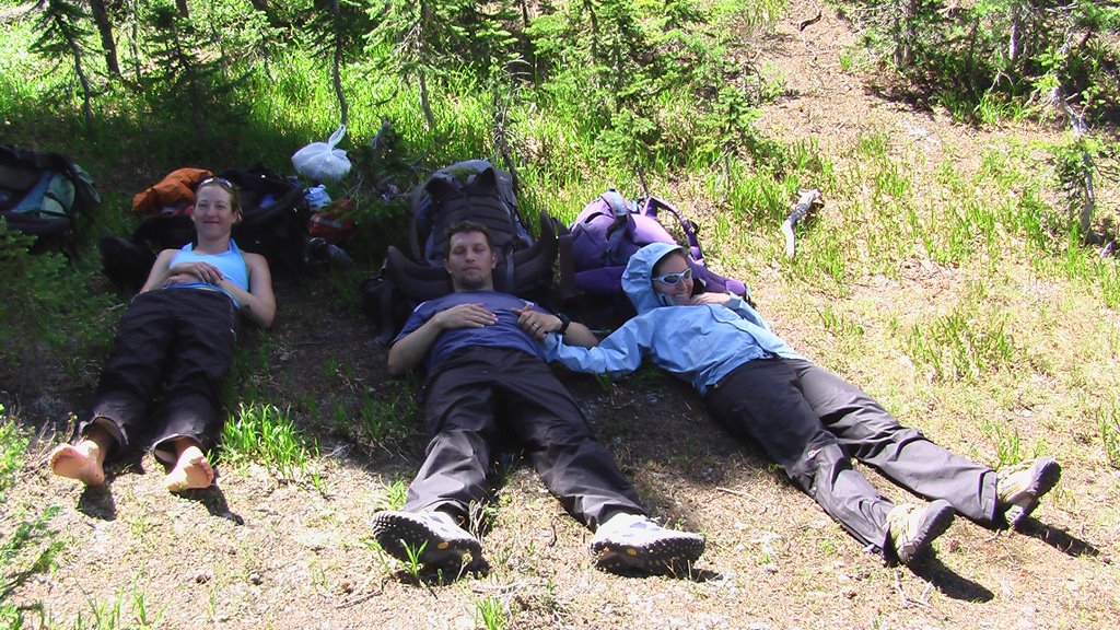
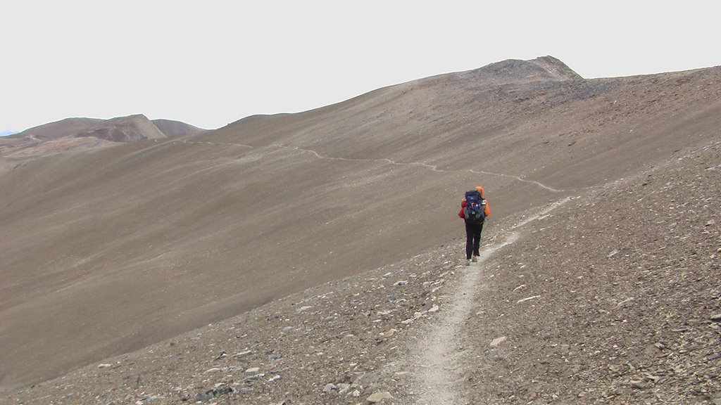
DAY 52: The Notch (2480m, highest point on the Skyline)


Back on the trail tomorrow... off to Mount Robson and the end of our adventure!

Thank you!

I just wanted to send out a BIG THANKS to everyone who has followed along and taken the time to send messages to us on our blog... your words of support have been much appreciated over the past two months during our adventure in the mountains!

I don't have personal email addresses for many people who I have met during our trek so send me an email if you'd like to keep in touch.

Harry... I did mention Bargen's Pass, but sadly your sign marking the highest point on the GDT was nowhere to be found... I guess you'll just have to climb up there again! ;)

THANKS to Amy and her cyclist friends from Idaho for the ride into Jasper from the Poboktan trailhead and Steve and Cheryl from Winnipeg for the ride back to the trailhead... you guys made a difficult resupply easy and fun!

Cheers,
BRAD
brad@bradlandproductions.com


NOTE: This sign is posted on the GDT just outside of Jasper but we actually have 6 more days of hiking to go!

Christy's Close-Ups Part 2

Christy keeps looking a little closer at the world around us as we hike...


Friday, August 25, 2006

Top of the Great Divide

AUGUST 25, 2006 - Jasper National Park

We just finished a long and amazing section of trail that had us climbing up narrow canyons, up glacial-swollen creeks and over high mountain passes and all with beautiful sunny weather... mostly.

We started the section from the Saskatchewan River Crossing by climbing up the incredible Owen Creek canyon; so deep and narrow at some points that you can straddle the canyon with one foot on either side as the water crashes many metres below in the darkness! The second day (DAY 43) we headed cross-country, up and over three high mountain passes including the highest point on the GDT at 2590 metres.. stunning views! We did some tricky route-finding as we realized (a little too late) that Paolo and Bev had the topographic map for the area so we relied heavily on Dustin's trail description from his guidebook which proved rock-solid (since we never really got lost)! ;)

DAY 32: Brad on Ball Pass

DAY 43: On the highest point of the GDT (aka Bargen's Pass)

DAY 43: Christy climbing high

DAY 43: Mountain reflections


On our way up the Cataract Creek valley towards Cataract Pass we came upon some old ochre pictographs that may be hundreds of years old.

DAY 44: Cataract Creek ochre pictographs

DAY 45: Making lunch below Cataract Pass


We crossed over into Jasper National Park at Cataract Pass and once again we were on good, established trail... no more bush-wacking! After 3 days of hiking without seeing anyone else, we gladly shared the campground and campfire that night at Four Points Creek with Paul & Laurie from Sault Ste. Marie, Paul (who made smores!) & Krista from Philadelphia, and Jun from Michigan. HI to all!

The next day the rain started early... and never stopped. We hiked 22 kilometres in only 5 hours, moving fast to stay warm in the cold, wet weather. On Jonas Pass we discovered that Christy's rainjacket was not waterproof, acting more like a sponge as it got wet and sucked her body heat away. She got so cold that she couldn't use her fingers to clip her pack! But thanks to the shelter of our tent, her warm sleeping bag, a dry change of clothes and some hot chocolate, she was feeling warm and cozy again... but a new jacket is in order soon!

DAY 46: Soggy Jonas Pass


Up next is the famous Skyline Trail in Jasper National Park. Only 2 weeks and 250 kilometres left to the end of the trail at Mount Robson...

Friday, August 18, 2006

And then there were two...

AUGUST 18 - The Crossing

Sadly, five days ago in Lake Louise we said goodbye to Paolo and Bev as they decided to stop hiking the Great Divide Trail and bussed back to Vancouver. Bev's nagging hip injury had gotten worse and she had stopped enjoying the hike so after much soul-searching and discussion with Paolo, they decided to call it quits. So now it's just Christy and me trekking through the mountains on our way to Mount Robson. We miss both of them and really noticed it on the last section of trail which had us hiking through some very remote areas.

We left Field last week and hiked through the western area of Yoho National Park, up and over Amiskwi Pass and did not see anyone else on the trail for several days. Just before the pass, Christy said to me, "Brad keep your eye out for wildlife because I smell something funny."
I looked at her strange and mere seconds later, charging down the trail towards me, were two young grizzly bears. They hadn't seen me and appeared to be playing or racing or something so I shouted out and immediately they skidded to a stop about 30 feet away. Christy and I both pulled out our bear-mace, but after a quick sniff and look at us the bears ran off into the forest. We continued on, loudly and cautiously but never saw them again. But the area is ripe with berries and we saw bear scat often.

After that scare, we hiked further that day than expected but the beautiful blue-sky sunshine kept our spirits high. The next day we took on the role of explorers as we headed up on the David Thompson Heritage Trail, an original fur-trading route into BC 200 years ago! We enjoyed the first bit of the hike but as we climbed towards Howse Pass, where we would cross the continental divide again and re-enter Alberta, the trail became very overgrown and difficult to walk on. In fact, the next day of hiking as we descended from Howse Pass we walked for more than 6 hours, covering a mere 10 kilometres, struggling up and over hundreds of fallen trees while wading through the flooded glacial water of the Howse River. Quite the adventure!

Tomorrow we head off towards Jasper and only 3 weeks left on the Great Divide Trail. The weather forecast looks good and our legs and feet are feeling pretty good... just time for one more steak dinner tonight!

Saturday, August 12, 2006

The Rainy Rockwall

AUGUST 12, 2006

After our relaxing and restful days in Banff we headed back up into the mountains. The Egypt Lake area north of Sunshine Meadows was spectacular hiking as the Great Divide Trail stayed very close to the actual continental divide for many miles, climbing up and over several passes each with impressive views of the area. The smoke from a large forest fire in Washington state had been blowing north and the sky was filled with an eerie orange haze and the distinct smell of smoke for several days. After spending two beautiful days hiking north from Sunshine Meadows, we climbed steeply up to Floe Lake and the start of the famous Rockwall Trail in Kootenay National Park. This is when the rain started... and didn't stop for the next two days.

As we finished dinner at Floe Lake the rain began to fall so we hurried to the shelter of our tent. The rain continued most of the night and for the first time on our hike we had to pack up in the rain in the morning resulting in most of our gear being damp (and heavy) as we set off for Numa Pass, the highest point on the Rockwall. The clouds fell low and heavy, obscuring any views and as we were literally blown off of the pass by the wind. The rain stopped briefly during our lunch break only to return with a fury as we crested Tumbling Pass. Large hailstones and some very close lightning strikes had us taking cover in a small grove of trees. When the hail turned to hard rain we hurried off of the pass and down to our campground for the night. Unpacking our wet gear in the rain resulted in a very wet camp. Sleeping in a slightly damp sleeping bag never makes for a very good nights sleep... ahh the joys of hiking in the rain!

Oddly enough the Rockwall Trail was very busy and we shared our wet campground with several other hikers who also braved the nasty weather to hike what I'm sure is a beautiful trail in better weather! After some debate we decided to hike out to highway 93 a day early rather than venture up and over another pass to Field. The trail to the road had a bridge out which made for a precarious creek ford with rushing flood water nearly up to our waist! But by the end of the day we were safe and dry at the Castle Mountain Chalets with our wet gear hanging everywhere, drying out and Christy baked a chocolate cake! Not the typical trail magic, but magic nonetheless!

THANKS TO:
Paul Pelegrin from Sunshine Meadows Shuttle for some special trail magic shuttling us to and from Banff!
Vladmir & Donna from Calgary for the ride out of the rain!
Bob, June & Joan from Manchester for the ride to Lake Louise!

Monday, August 07, 2006

Trail filmmaking

The reality of trying to capture our two-month/1000 km GDT hike on video means stopping and setting up the camera to film our journey as often as possible while still hiking 20 kilometres per day.


With almost 500 km hiked so far, we've recorded over 20 hours of video!

Christy's Close-ups

Christy looks a little closer at the world around us as we hike...


Saturday, August 05, 2006

Banff: Half way!

AUGUST 5, 2006 - Banff

After hiking for 10 consecutive days from Highwood House, our rest days in Banff feel much deserved (and much needed). We have walked almost 500 km from Waterton to Sunshine Village so we decided to celebrate the halfway point of our GDT hike in style by treating ourselves to a nice hotel in Banff... hot shower, clean clothes and steak dinner too!

Over the past week we were hiking in Provincial and National Parks (Elk Lakes Provincial Park, Peter Lougheed Provincial Park, Banff National Park & Mount Assiniboine Provincial Park), so the walking has been on good trail through some spectacular areas. The warm temperatures and sunny skies that we had gotten used to in the south vanished our first day out of Boulton Creek campground when we awoke to frost on our tents and fresh snow on the surrounding mountains. It felt like summer was over and it was only the first week of August. But the stunning beauty of the areas we hiked through easily kept us inspired to venture out of our cozy sleeping bags every morning into the cold.

BIG THANKS to the cyclists from Calgary who shared their campsite at Boulton Creek campground with us!

Bizarre yoga pose at Elk Lakes (DAY 20)

Upper Kananaskis Lake (DAY 22)


At Banff's Birdwood campground, due to a coincidence of timing, we camped with 5 other long-distance GDT hikers: Duane & Angela from Calgary; Harry (Angela's dad) from Penticton; and Dave and Pat from Smithers. Duane, Angela & Harry are section-hiking from Boulton Creek to Field, while Dave & Pat left Waterton on July 15 and are also hiking as far as Field. We sat around the campfire late into the evening, sharing many trail stories and laughs. After hiking most of the southern sections of the GDT without seeing any other hikers it was a pleasure to share our camp with some fellow long-distance hikers. Harry empathized with my bear-mace incident as he had a mace accident of his own too... we both can laugh at it now.

We wish them all the best on the rest of their hikes and hope to hear from them after they're done.
THANKS to friendly Park Ranger Julie for her help with our National Park Permit!

The highlight of the entire section was Mount Assiniboine Provincial Park. While this park is extremely popular (i.e. busy), the beauty of the glacier-capped mountains, blue-green lakes and seemingly endless alpine meadows makes you wish that you could hike through areas like this forever...

Mount Assiniboine and Magog Lake (DAY 27)

Sunset at Og Lake (DAY 27)


SPECIAL THANKS to Dustin and Roche for coming out to visit from Canmore!

Footprints at camp

JULY 27, 2006
After an amazing rest day in Longview, we shared beers and an incredible sunset with Ann (from the Highwood House store) and her husband Phil on the back deck of their house. The next day Ann drove us to the Baril Creek trailhead and we headed back up into the mountains... up and over the Great Divide at Fording River Pass, where we crossed back into BC.

SPECIAL THANKS to Ann & Phil!

Christy, Paolo, Brad and Bev on Fording River Pass (DAY 19)


Our camp that night was at a little lake on the BC side of the pass. While we didn't see any animal visitors during the night, the footprints near our camp indicated that we weren't the only ones who used the lake as a water source!


The trail (if you can call it that) that led down to the Elk River valley from Fording River Pass was an ATV track so overgrown that we couldn't see our own feet as we tripped over rocks and branches sending us tumbling down the mountainside. At the Elk River we joined a gravel road that led to Elk Lakes Provincial Park. As we sat in the shade near a small stream on the side of the deserted road, contemplating the 20 kilometres of hot and dusty road-walking that lay ahead, suddenly a truck came driving up the road like a mirage. The truck skidded to a stop and Dave from Elkford asked if we needed a lift. We jumped at the chance and hopped in the back of his pick-up truck as Dave sped off down the road, racing the rapidly-deflating air in his punctured rear tire! We reached Dave's campsite in a few minutes and his wife Laura kindly drove us the remaining distance down the road in her car (with all tires intact) to Elk Lakes. We passed the southern boundary of Elk Lakes Provincial Park which signified that once again we were in protected land and would be following the well-established trails of the parks for most of the next month of hiking.

BIG THANKS to Dave & Laura from Elkford!

Photo Gallery

Carthew Lakes, Waterton Lakes National Park (DAY 3 - we saw a grizzly bear at the lower lake in the photo)

Paolo & Bev on Tamarack Summit, Waterton Lakes National Park (DAY 4)

Brad on the Great Divide north of Sage Pass (DAY 5)

Christy sliding down Font Mountain ridge canyon (DAY 5)

Christy and Mount Matkin (DAY 5)

All tuckered out on LaCoulotte Ridge (DAY 6)

Christy contemplating the weather on LaCoulotte Ridge (DAY 6)

Christy and Brad (showing off his beard) on Tornado Mountain (DAY 14)

Wildflower zen (DAY 15)

Brad and Christy on the Original Great Divide Trail section (DAY 16)